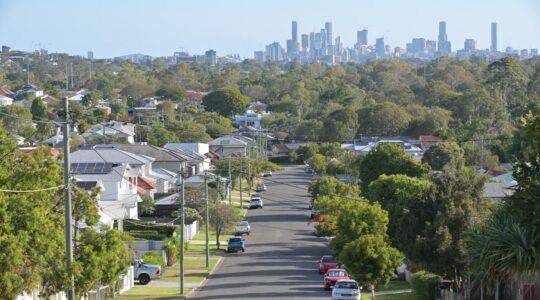
Aussie engineers are using smartphones to map potholes in roads, with the goal of creating an app that builds a live map of road conditions across a city.
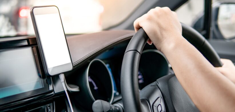
A Monash University team led by Dr Yihai Fang, has trialled crowdsourcing with 22 student drivers sharing data from their phones, that didn’t just detect bumps but fed footage into an app.
Dr Fang said they hoped to expand the project in partnership with road authorities.
“The more data we get from different vehicles, phones and road conditions, the stronger the system becomes,” he said.
“This could one day help create a city-wide road health map powered by everyday drivers.”
Dr Fang said road authorities currently used specialised survey trucks fitted with laser equipment to monitor road conditions.
He said these provided accurate results but were costly and usually only deployed once or twice a year.
“By using cars that are already on the road, we can make monitoring more frequent and responsive.
“This could help spot problems earlier, before they turn into costly repairs.”
Dr Fang said climate change and extreme weather were placing additional stress on road networks, creating a need for more frequent checks.
He said affordable tools like smartphones could help provide extra data between surveys, supporting smarter use of Australia’s $15.8 billion annual roads budget, about half of which is spent on maintenance and renewal.
“Our research shows that smartphones, supported by deep learning models, can reliably capture road roughness data across different vehicles and mounting positions.”
Read the full study: Smartphone-Based IRI Estimation for Pavement Roughness Monitoring: A Data-Driven Approach.