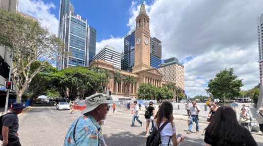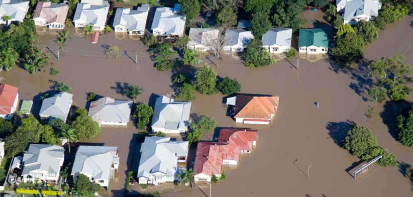
Brisbane’s flood mapping will be updated next month, with more than 10,000 properties added after recent studies.
Brisbane City Council Environment, Parks and Sustainability Chair Tracy Davis said more than 17,000 properties had been updated in the new release due on September 19.
Cr Davis said flood studies were completed for Breakfast Creek, Jindalee and Lota Creek Catchments last year and these would be incorporated in the update to Brisbane City Plan’s flood overlay mapping.
“This mapping update will impact 17,246 properties, with 400 properties removed, 10,129 properties added and many others having changes to their extent of flood risk,” she said.
Cr Davis said the updates applied only to creek and waterway flooding, not Brisbane River or overland flow flooding.
“Brisbane is built on a floodplain so flooding cannot be prevented, but updated and transparent flood information helps residents better prepare, respond and recover.”
She said letters would be sent to all affected property owners next month to explain the update and where to find further information.
Cr Davis said the flood risk update for many of the properties could be as low as a 1 in 2000-year event, and it was important insurance companies did not try and cash in on this change and unfairly increase insurance premiums.
“A 1-in-2000-year flood event represents a very low likelihood of flooding in any given year, but this information ensures residents are informed of foreseeable risks.
“We can’t prevent flooding in Brisbane, but being prepared can make a huge difference.”