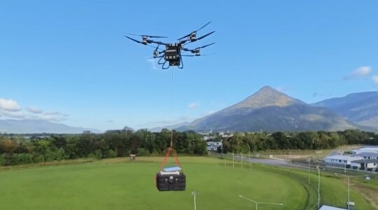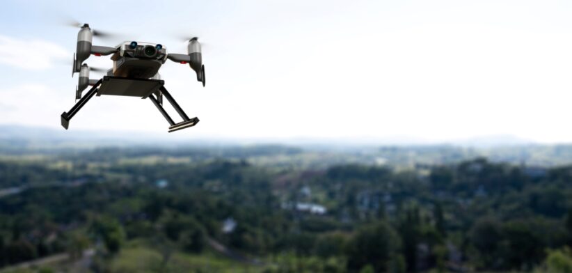
Queensland’s invasive plants will be mapped using drones through a collaboration between Sunshine Coast Council and QUT.
The partnership has secured a $240,000 grant for the project that will develop a framework for classifying and mapping invasive plant species using drone-collected imagery.
Sunshine Coast Council Invasive Weeds Project Officer Melissa Hele said the grant will help explore and test the use of AI for plant identification in natural systems.
“It will allow us to continue to push the boundaries with our invasive species research and enable us to trial this technology on camphor laurel, cat’s claw creeper and madeira vine – which are all challenging species for surveillance and mapping in our environment”, Ms Hele said.
Dr Vanegas Alvarez, from QUT’s School of Electrical Engineering and Robotics, said his research project would identify the most appropriate protocols for aerial and ground data collection and the best AI models for each species and site.
“Invasive plants have negative effects on agriculture and farming, damage existing infrastructure, and in some cases cause irreversible damage to unique ecosystems,” Dr Alvarez said.
He said the Sunshine Coast Council was committed to using innovative technologies to better understand the extent of invasive plants, how they spread and their effects on ecosystems to inform on-ground decisions.
“Land managers are faced with decline in resources, time and funding, increasing population and climate variability so they are turning to technology to help identify and map key species.”
Dr Alvarez said he was working with drone operator Aspect UAV Imaging to develop a standardised methodology to survey and collect data, detect different species and then map vegetation using aerial imagery.
“Fine detail and high-resolution mapping of vegetation and weed species are required to understand and assess the environmental impact and support decision-making,” he said.
“Species classification in natural environments is challenging owing to high floristic and spectral diversity, as well as a mix of light in pixels reflected by multiple species.
“However, drones equipped with ultra-high resolution, visible-light (RGB), multispectral (MS) cameras, and high-precision global positioning systems can capture imagery over 4ha of land in one flight.”