By Susan Schwartz
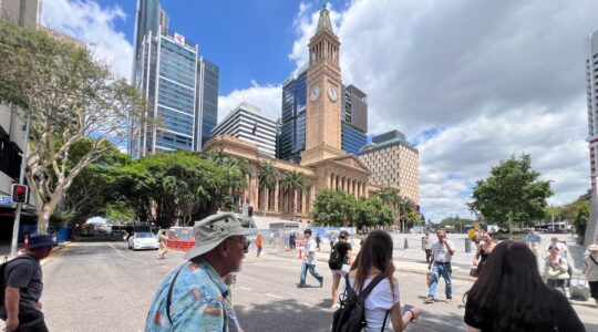
An ancient earthquake along a fault line west of Caboolture shaped the region thousands of years ago, researchers have found.
City of Moreton Bay Mayor Peter Flannery said the investigation was fundamental to building an understanding of a potential future earthquakes and the damage they may cause.
The data will be used to provide realistic scenario planning for response and recovery by the council, Unitywater and the Queensland Fire Department.
“Any project like this, where we can get a better understanding of the risks posed by potential disasters, is invaluable,” Cr Flannery said.
“It means we cannot only better plan for the infrastructure needs of our community, but also work towards how we respond to a future event.”
Researchers from The University of Melbourne (UoM) said ancient earthquake exceeded magnitude 6.5 at some stage in the past 20,000 to 35,000 years.
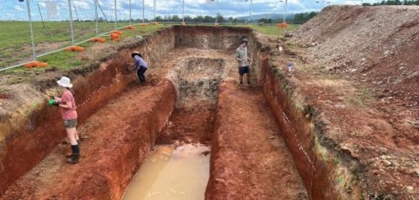
UoM Professor of Earthquake Science Dr Mark Quigley said Light Detection and Ranging (LiDAR) mapping was used to determine the location of previous earthquake ruptures.
“We are looking for places where young sedimentary materials are broken by faults or pass across faults unbroken, and we can use those to guide studies to determine the timing and the magnitude of past earthquakes,” Dr Quigley said.
Dr Quigley said the second phase of the study involved analysing sediment samples collected from the scarp (a break in the ground caused by the earthquake) which are now being dated by UoM researchers.
The results will be compared to the findings uncovered from the team’s earlier LiDAR mapping data.
Earthquakes in Queensland are relatively uncommon compared to global standards but are ranked ninth in terms of natural hazard risk priorities.